
Hong Kong,
growing north.
An exploration of geography, planning and place through the studio's Northern Metropolis map concept.
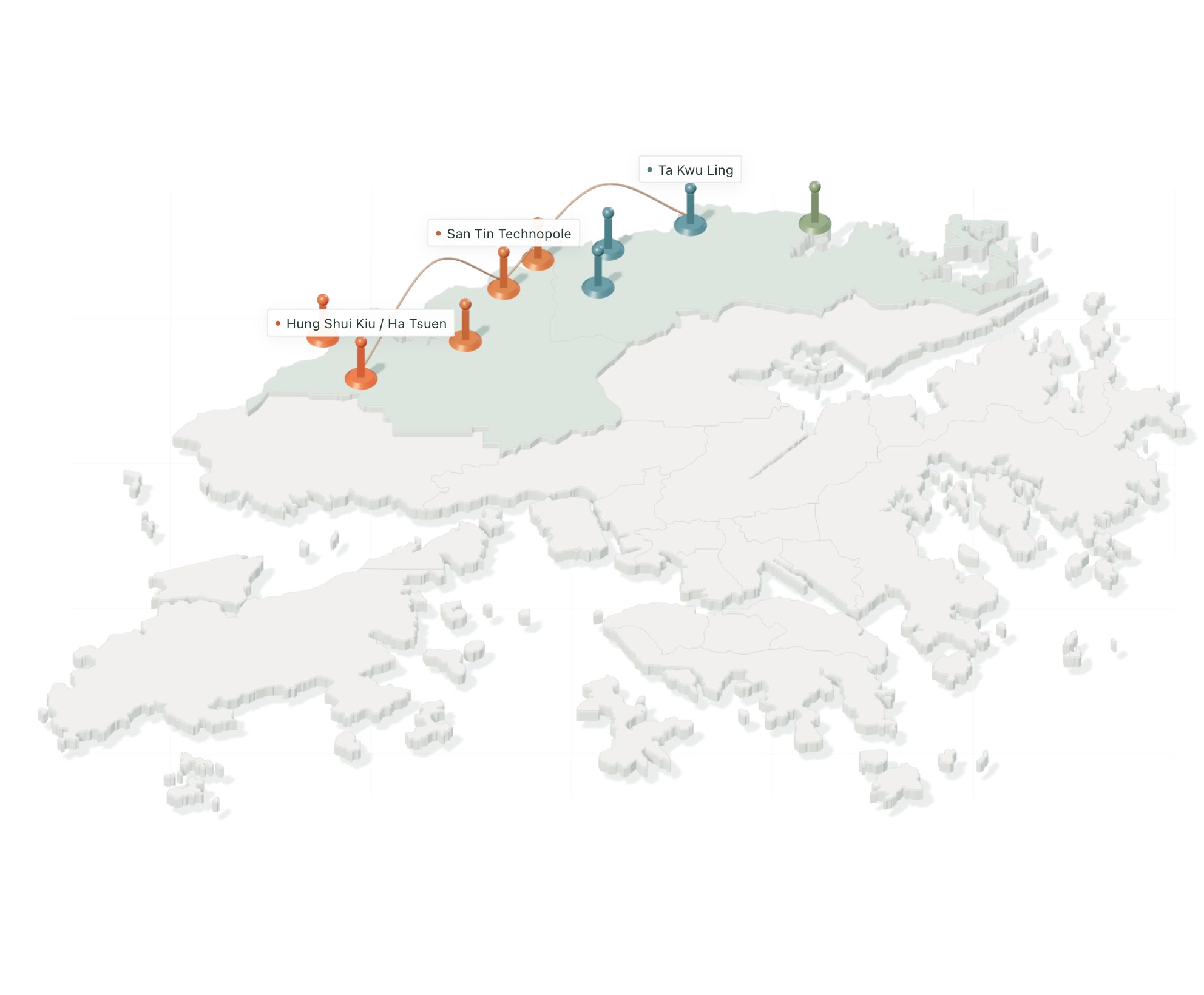
A story of place.
And time.
The concept uses mapping and spatial storytelling to connect places and planning themes in Hong Kong's Northern Metropolis.
This portfolio view presents an image from Chartipedia's existing map archive. It is an independent studio exploration.